Search for Aspen Gold; Day 5
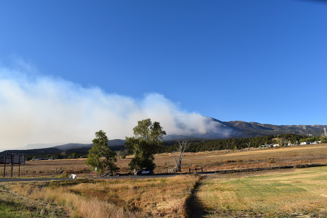
It was 8:30, sunny and 52 degrees as we drove away northbound from Salida. We could still see smoke coming from the forest fire south of town.
We got a later start today because I took Poonie to a car wash for a good cleaning. Our route today was 291 north, 285 north, 24 east, Teller County Road 1 south (from Florrisant to Cripple Creek), 67 north and 24 east.
At Wilkerson Pass (9,507 feet altitude) we intended to stop to photograph a few orange aspen trees but the parking lot was closed. We parked just outside and walked in for the pics.
I intended for our first stop to be Cripple Creek but just north of Florrisant we came upon the Florrisant Fossil Beds National Monument. We never visited it before so we stopped. They say about 35 million years ago there was a redwood forest at this location. What is left today are some petrified redwood tree stumps. They have also found numerous fish, animal, and insect fossils in the area. We walked a one mile loop to see several of the petrified tree stumps.
We saw a lot of pretty aspen groves going to and from Cripple Creek. The photo below is the main drag in Cripple Creek, which shows some aspen in the background.
Cripple Creek is still mostly a casino town with nothing to offer us so we drove on through and out of town. We drove to Woodland Park where we stopped for a late lunch at the Hungry Bear Restaurant.
A short hop down 24 we turned off to make the drive up Pikes Peak. It cost us $15 each for the privilege and when we got to the top the parking lot was a mess with very few parking spots. I enjoyed the drive up and down but the summit sucked. Also, it was 41 degrees and very windy so we didn't stay long.
While on Pikes Peak we saw smoke from another forest fire to the west.
It was a short drive into Colorado Springs and we arrived at our hotel at 4:30. We drove 191 miles today. Our high temp was 72 and our low was 41.
Click here to see all the photos taken today: Day 5 Pics


Comments